
General
Polar Vortex Disruption: What the Early November Forecast Really Means

What Is the Polar Vortex?
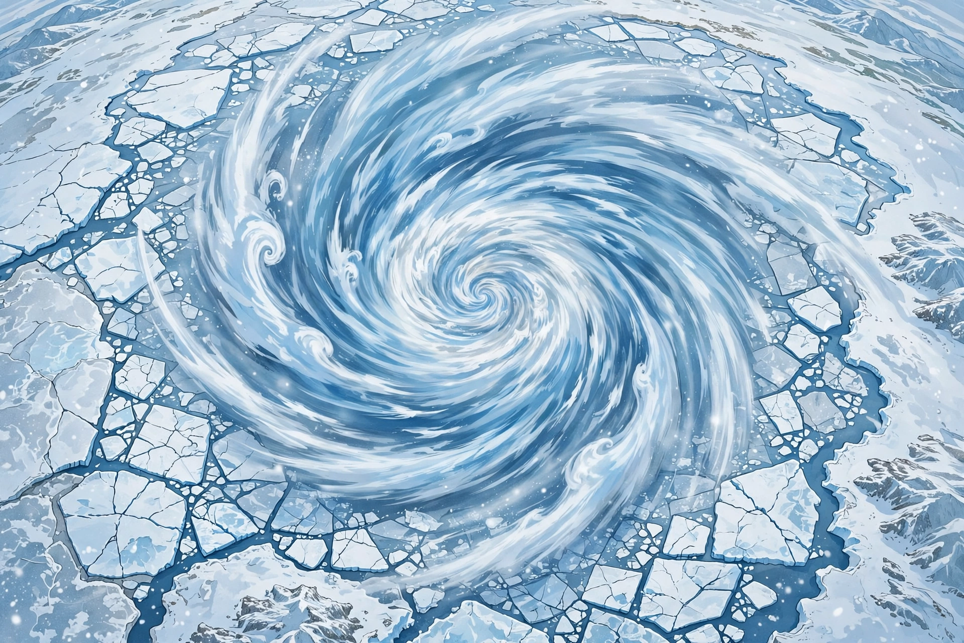
The polar vortex is a band of strong winds that circles the Arctic high up in the atmosphere, about 10 to 30 miles above the ground. It forms every fall as sunlight fades and the polar region cools down. When the vortex is strong and tight, cold air stays locked up near the pole. When it weakens or gets disrupted, that cold air can spill southward.
Right now, weather models are flagging something unusual: the vortex could weaken sharply in early November 2026 — weeks earlier than such disruptions normally happen. That is why “polar vortex” is trending, and why forecasters are watching it closely.
What Are the Models Showing?
According to NASA’s Ozone Watch wind data, the average west-to-east wind at 60 degrees north latitude, measured about 19 miles up, was around 49.5 mph on October 25, 2026. Forecasts show it falling to about 27 mph by October 31 and roughly 9 mph by November 3. For comparison, the long-term average for November 3 is about 58 mph — and the lowest value in the historical record for that date is about 32 mph. In other words, the forecast is well below anything previously seen this early.
Some European forecast model runs go further and show the winds reversing direction entirely — the classic sign of a major sudden stratospheric warming event. The European model’s ensemble put the chance of a wind reversal by November 9 at about 36 percent (18 of 50 forecasts). Other models are more cautious, and experts stress that a full reversal is far from certain. MIT polar vortex expert Judah Cohen has put the probability of a full disruption at around 25 percent.
The vortex is also expected to stretch dramatically around November 2, becoming about 2.84 times as long as it is wide — above the 95th percentile for that date. No major sudden stratospheric warming has ever been recorded before November 28 in a record going back to 1959, so an early-November event would be unprecedented.
What Is a Sudden Stratospheric Warming?
A sudden stratospheric warming is a rapid rise in temperature high above the Arctic. It can displace, split, or weaken the polar vortex. Think of it like a spinning top wobbling and slowing down: once the spin weakens, the cold air it was holding in place can wander.
It is important to know that this warming happens in the stratosphere, not at ground level. The air we feel day to day is in the troposphere below. A stratospheric disruption only affects our weather if its effects work their way down — and that usually takes about two to four weeks.
What Could It Mean for the United States?
If the disruption happens and propagates downward, it could raise the chances of colder, more winter-like weather across parts of the United States later in November and into December. Past disruptions, like those in February 2018 and February 2021, were followed by severe cold and snow in parts of the country.
But that is a possibility, not a promise. A weaker vortex does not automatically mean a nationwide freeze or heavy snowfall. It shifts the odds, and where exactly the cold air goes depends on many other weather patterns. A strong El Niño episode in the Pacific this winter could also steer things in a different direction.
Notably, current US government forecasts still favor above-average temperatures across much of the country for November 7–20. Any effects from a possible vortex disruption would most likely show up after that window, if they show up at all.
What Should You Actually Do?
For now, nothing special. This is a forecast to watch, not a storm warning. The sensible steps are the same as any late fall: keep an eye on your local short-range forecast rather than month-ahead headlines, and remember that model forecasts can change quickly — forecasters expect a clearer picture within a few days as new model runs come in.
The bottom line: an unusually early polar vortex disruption is possible, it would be record-breaking if it happens, and it could tilt the odds toward colder weather later in November and December. But it is not certain, and it is not a guarantee of a brutal winter. Anyone telling you otherwise is getting ahead of the science.

Luka Doncic Scores 52 Points as Lakers Beat Jazz 132-123

How to Fix WiFi That Keeps Disconnecting: 12 Simple Fixes

Polar Vortex Disruption: What the Early November Forecast Really Means

Empower Your SEO and Design with Seotoolsgroupbuy.us’ Designer Plan

Twstalker Twitter Web Viewer: Guide to Anonymous Twitter Browsing
